- Savar Upazila at a Glance
-
Our Services
Training & Suggestions
Services
Inspection
- Higher Offices
-
e-Services
National E-Service
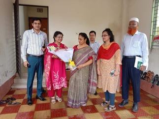
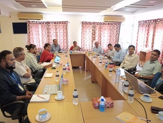
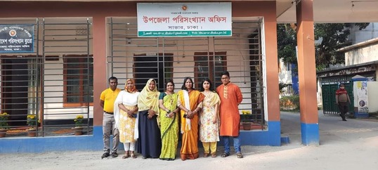
- Gallery
- Contact
- Opinion
- Savar Upazila at a Glance
-
Our Services
আইন , বিধিমালা
Training & Suggestions
Services
Inspection
-
Higher Offices
জেলা
Ministry / Department
-
e-Services
National E-Service
- Gallery
-
Contact
Tele communication
Communication Map
- Opinion
avar is a city in central Bangladesh, near Dhaka and in Dhaka district. Located at a distance of 24 km from Dhaka, this city is the nearest city to Dhaka. It is the 2nd largest city in Dhaka district and is part of Dhaka Megacity. It is the headquarters of Savar Upazila. Savar has a total area of 13.54 square kilometers and a total population of 296,851, making it the 11th largest city in Bangladesh. Savar is very important for communication, industry, commerce and education. Bangladesh's longest road N5 passes through the city. There are many small industrial factories and garments here. Above all, what Savar is most famous for is the National Monument of Bangladesh.
history
The story of the marriage of Harishchandra Raja's elder daughter Anuda with Gopinath, the son of the Tantric Maharani of Mainamati and the dowry of the younger daughter Paduna is heard by many in Savar. Sivachandra Roy, the twelfth son of Harishchandra, passed away after spending his last life in Kashi Gaya. Shubharaj and Yuvraj, the first and second sons of Shivachandra's eleventh male Taruraj Khan, moved to Hooghly. The third and fourth sons, intelligent and fortunate, accepted the holy religion of Islam. One of their descendants became famous as Siddha Purusha and his tomb still exists today as Khandkar's dargah in Konda village.
When the local government system was introduced in 1959, Savar Thana Council was formed and Savar Municipality was formed in 1991.[2]
geography
Savar is situated at the confluence of the Banshi and Dhaleswari rivers, 24 km northwest of the capital Dhaka. It lies from 23º44΄ north latitude to 24º02΄ north latitude and from 90º11΄ east longitude to 90º22΄ longitude. Its total area is 13.54 square kilometers. The area belongs to the southern part of the Madhupur Pleistocene Highlands. Its ground level is quite high. The elevated land is known as 'chala' and the low area between the two elevated lands is known as 'baid'.[3]
population
According to the 2011 census, the total population of Savar is 296,851.[2] Out of which 132,698 are males and 124,062 are females and this huge population lives in 60,290 households. Population density is 11,306 people per square kilometer. The male to female sex ratio is 100:107 and the literacy rate is 66.5% (above 7 years).[2]
Union Name & Geo Code Area male female Total Population
Aminbazar 15 10.94 20397 17103 37500
Ashulia 18 26.01 78305 65647 143952
Yarpur 94 26.35 63234 53602 116876
Kaundia 50 11.47 14952 12844 27796
Tamarind 89 15.55 58214 48715 106929
Dhamsona 39 32.77 162372 145652 308024
Pathalia 72 28.74 49001 44149 93150
Bangram 22 18.05 17786 15841 33627
Birulia 33 30.14 22392 18796 41188
Bhakurta 33 21.06 23746 21201 44947
Shimulia 83 34.66 46987 42236 89223
Savar 78 10.20 24360 21527 45887
reference
Area, Household, Population and Literacy Rate of the Cities, 2011". Population & Housing Census-2011 Dhaka: Bangladesh Bureau of Statistics.


Planning and Implementation: Cabinet Division, A2I, BCC, DoICT and BASIS
Technical Assistance:
![]()
Developed By: